- Home
- Nicosia
- Nicosia Entries
- Korakou
Description
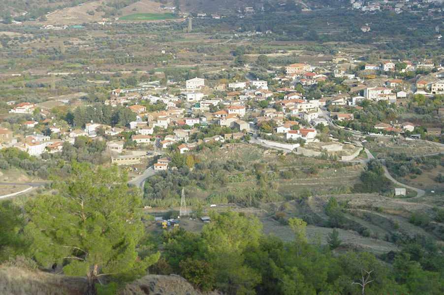
Korakou used to be a mixed village (of Greek and Turkish Cypriot residents) until 1964. The village is located in the Solea district, around 51km south-west of Nicosia. The village is built along the west banks of the Karkotis river, at a mean altitude of 420m above sea level. The terrain rises abruptly on both sides of the river bed, affording protection to the plantations from the winds. To the west of the village the terrain is mountainous and the mean altitude rises to 921m. The landscape is traversed by numerous streams, which flow towards the valley.
Fruit trees, vines etc are grown in the fields and orchards around Korakou. However, a large part of the lands belonging to the village remain uncultivated. A part of Troodos forest, to the west of the settlement, also falls under the jurisdiction of Korakou. The village has seen a population flux over the last centuries. In 188, the population numbered 364 while in 1969 the population was 548. After 1964 and due to intercommunal conflict, the few Turkish Cypriots of Korakou abandoned their village and resettled in other neighbouring Turkish Cypriot or mixed villages. After the Turkish invasion of Cyprus, Korakou has had to accommodate Greek Cypriot refugees, mainly descended from the Morphou valley. In the last census of 2001, the population of the village numbered 499.
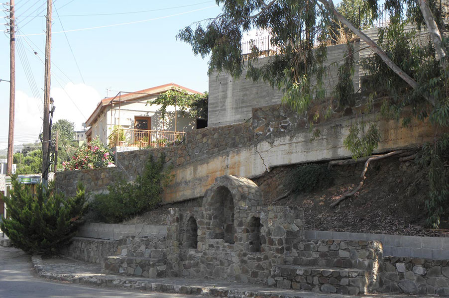
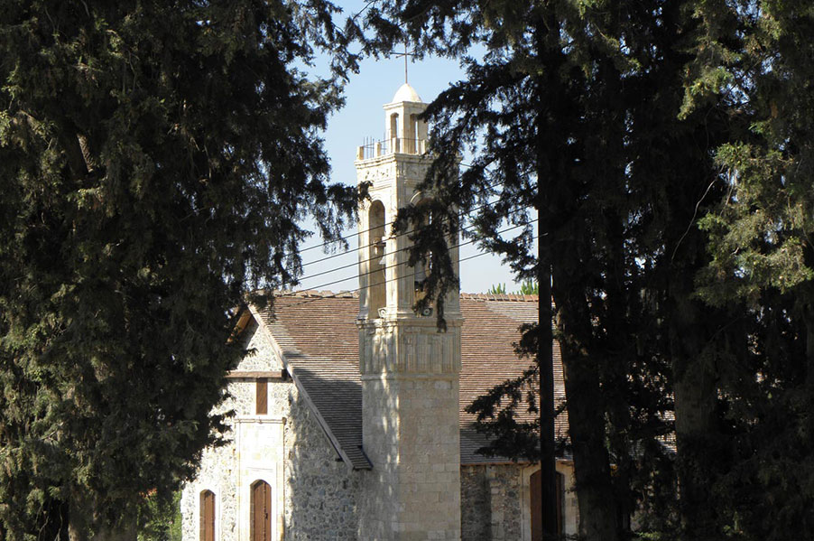
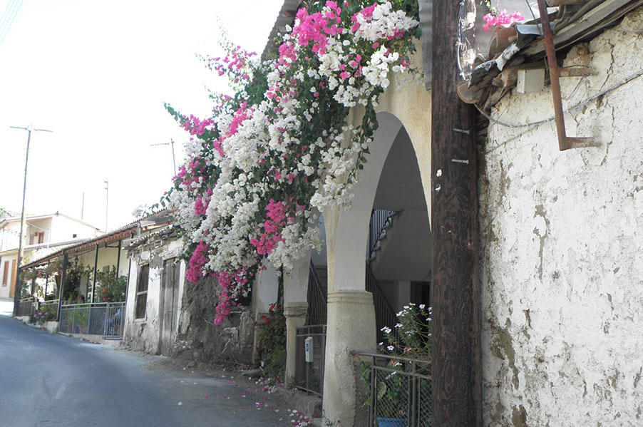
In Korakou there are three churches of a specific typology bearing wooden roofs. The BVM (Panagia) Eleoussa, a building of the 18th c., the church of the Apostle Loucas, a building of 1697, (according to an inscription above the north entry) and the church of Saint (Agios) Mamas of the 17th century. The churches of Korakou are rich in icons and silver artifacts. The village boasts exceptional examples of folk architecture. Also of architectural importance are the three water mills and two olive mills, attesting to intensive agricultural activity and the ample presence of water, both of which survive until today.