- Home
- Nicosia
- Nicosia Entries
- Kato Moni
Description
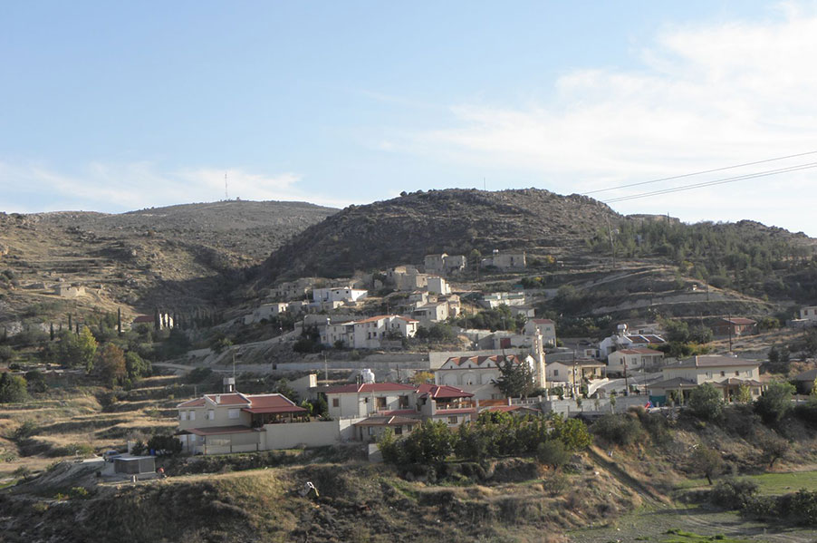
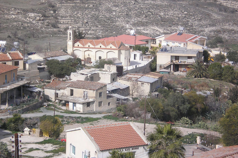
Kato Moni is a small, picturesque village in the Nicosia district.
It is situated at the foot of the Koroni Mountain and to the right of the Serrachis River, at a distance of about 40 kilometres from Nicosia.
The community is built at an average altitude of 400 meters, receiving an average annual rainfall of about 360 millimetres; olive-trees, cereals, vines, and legumes are cultivated in the region.
Kato Moni is connected via road to the village of Orounta in the north (2 km), to the uninhabited, Turkish-Cypriot village of Agioi Iliofotoi in the south-east (1,5 km), and to the village of Agia Marina Xyliatou in the south-west 93 km).
The village is located close to a venue with minerals and for this reason its general region was inhabited since ancient times, at least since the Middle or Latter Bronze era. There are indications that a settlement of the Neolithic period existed in the same region.
During the Frank Domination era, Kato Moni existed under the same name it has today. It is found marked in old maps under the name "Catomeri". Also, it is mentioned that the village "Catomoni" was a feud, originally belonging to the Knights Templars but -after their order got dissolved -falling in the hands of the Order of St. John of Jerusalem (Hospitallers).