- Home
- Nicosia
- Nicosia Entries
- Fterikoudi
Description
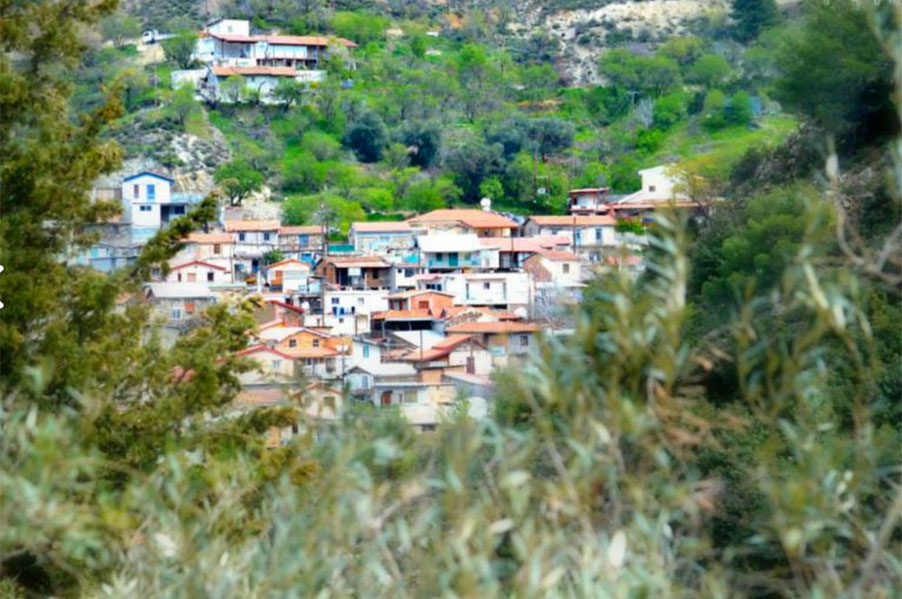
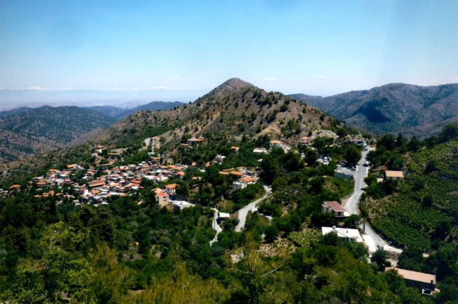
Fterikoudi is built on the green slope of Troodos, approximately 48 km southwest of the capital city. It is one of the beautiful and picturesque villages of the region of Pitsilia and at the same time one of the 20 highest villages of Cyprus as it is built on an altitude of 1050 metres.
Fterikoudi was established shortly after 1570, when the neighbouring community of Kalamithasa was destroyed and which is refered to by De Mas Latri as one of the royal estates of the Lusignan and Venetian period. In particular, according to tradition Fterikoudi was established by the residents of Kalamithasa who survived the catastrophic rage of the Turks. Today, the chapel and grave of Saint and Prophet Avvacum are located in the area where Kalamithasa used to be built.
What is noteworthy is that recent excavations at the village have brought to light an ancient temple and a tomb entrance which are probably dated back to the Mycenaean period.
The sword fern plant or “fteritzin”, “fterikoudin” or “fterikia” as it is also known gave its name to the village. The sword fern is a plant which grows in abundance in Fterikoudi and this is evident while strolling around the village.However, there are some who believe that the name of the village is linked to its location. In particular, they support that the naming of the village derives from the fact that it is built on a slope (fteri).
Fterikoudi is one of the small in population villages of the Nicosia District. Over the past few years the population of the village has decreased enormously. The main reason for the abandonment of the village is employment in the capital city. Commuting to work on a daily basis is unbearable and this urges all the more people to move to the capital permanently, while it is worth mentioning that after the Turkish invasion tens of workers commuted to Nicosia. After studying the following table one notices several fluctuations in the number of residents starting from 1881 until today.
