- Home
- Limassol
- Limassol Entries
- Pentakomo
Description
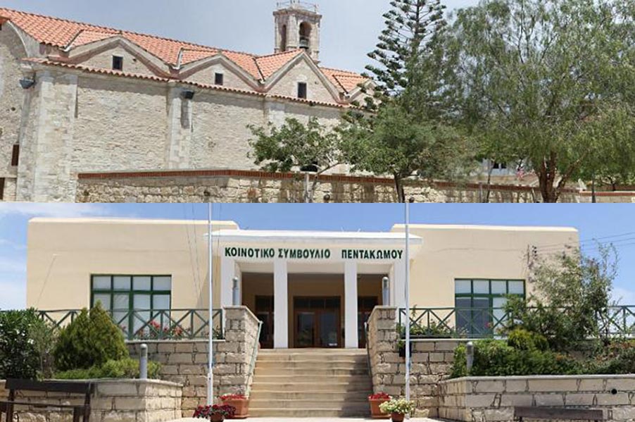
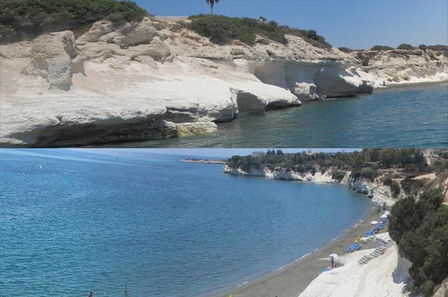
Pentakomo, comprised five settlements (pente-five, komi=village) which, at one time merged or disappeared to form the Pentakomo of today. The Pentakomo coastline, from the monastery of Agios Georgios Alamanos to Governor's Beach, is unspoilt, while the coasts themselves have been subjected to such erosion that curious but interesting features have arisen, such as caves, arches, stacks and islands. One such remnant, known by the name "Karavopetra", has been identified with the Arab incursions on the island. According to tradition, it was here that the corsairs moored their ships before looting and ransacking the land. On a narrow coastal area, to the west of the village of Mari, stretches a picturesque beach, which recently became known by the name of Governor's Beach. This rocky and sandy beach, stretching for about one kilometer, has become, particularly after the Turkish invasion of 1974, a popular spot for bathers, campers and summer vacations. Following a decision by the Council of Ministers in 1989, an organized and planned camping site was established and set into operation at Governor's Beach. Today, the area features all necessary amenities and comforts. The area covers about 13 ha of land and, in 1991, an athletics field, a tourist beach and other amenities began operation. A biological waste processing plant was also established. There are 358 camping lots, 111 for caravans and the remaining 247 for tents. Provisions also include parking spaces, public utilities. Lavatories and washbasins, refreshment stands, a grocery, children's play areas, open-air showers, garbage disposal units, paved pathways and benches. At a distance of about a kilometer west of Governor's Beach, the force of the waves has broken the rocks, especially at weak points, and has led to the creation of various geomorphologic features.

