- Home
- Limassol
- Limassol Entries
- Kyperounta
Description
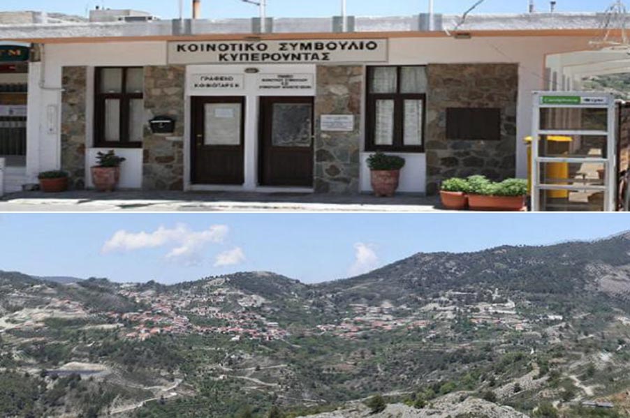
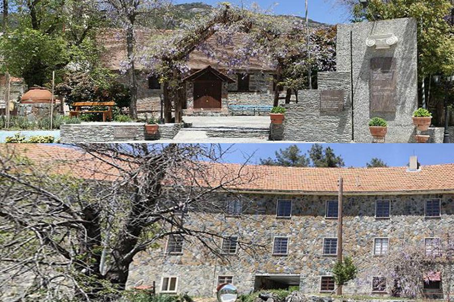
The name of the village is possibly related to the plant named “kypiros” or “kyperi” or “kyperos” or “kapouro”. Explicitly, “kyperos” is a weed that grows widely in the area and is used to feed animals. It is scientifically named “cyperus rotunus”. The village was possibly established during the Byzantine era. This is indicated by several folkloric songs of the 9th and 11th century that mention its name. One of these songs is named Marouthkia. During Frank domination, as De Mas Lartie mentions, “Chiperonda” was one of the villages that were considered royal property. The map of Abraham Ortelius also charted the village as “Choperoda” in 1573. During the Ottoman era, the village was divided into two neighborhoods by river Kouris. One of the neighborhoods was built around the church of Saint Marina, while the other was built on the east of the Church dedicated to Virgin Mary. The houses were built in such a way so as to “be able to internally communicate with one another” and their roofs were unified, creating an imaginary road. This type of architecture helped the inhabitants to escape in cases of Turkish invasions and loots.

