- Home
- Larnaca
- Larnaca Entries
- Voroklini
Description
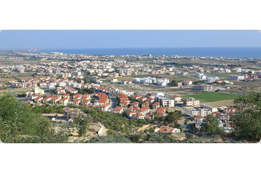
Voroklini is located about eight kilometers northeast of the city of Larnaca. The village is located on a hill at the foot low horseshoe- shaped hill at a height of about 50 m. above sea level. Voroklini receives an average annual rainfall of about 340 millimeters; the cultivated cereals, vegetables and fruit trees.
Voroklini connected to the southwest with the motorway Larnaka- Famagusta, to the northwest with quarries and mines located between Voroklini and villages Troulli and Avdellero. In the northeast with the adjoining mixed village of Pyla, located about 3 km. To the north lies the monastery of St. George of Montenegro was in its heyday during the Venetian period. To the west it is connected with the village of Livadia.
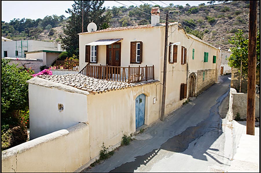
The area seems to have been inhabited since ancient times, as evidenced by the intensive exploitation of the mines and mineral resources in the region Troulloi, particularly copper and Umbria (faiochomatos) and potting.
The village with large increases in the population has managed to become a large and growing community. In 1878 the population of the village was 150 people. In 1881 the population was 260 people, while in 1911 to 410. In 1946 the inhabitants stood at 611 in 1976 to 811 in 1982 while the population reached 1315 people. In the census of 2001 the inhabitants stood at 3302. Currently the population is estimated about 8000.
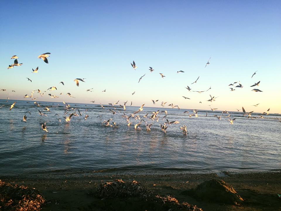
Beach Voroklini is registered in The Phaidon Atlas of Contemporary World Architecture, which is the world atlas architecture.