- Home
- Larnaca
- Larnaca Entries
- Kalavasos
Description
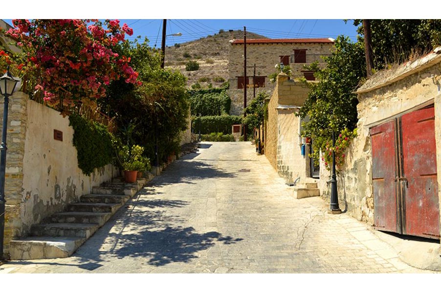
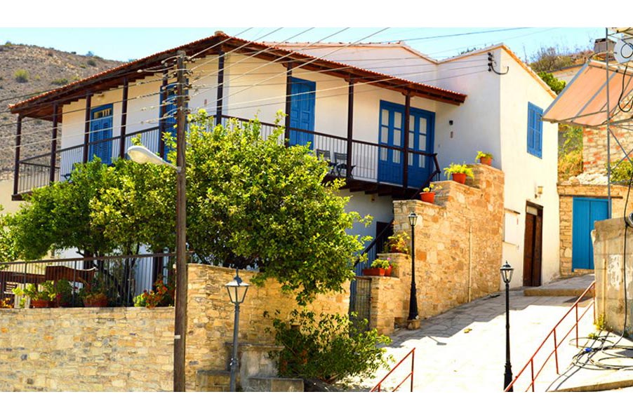
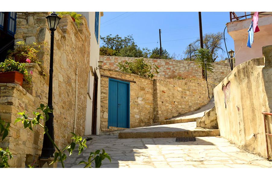
The area of Kalavasos is built upon the west bank of the Vasilikos River, at an average altitude of 80 meters. The name Kalavasos came from the Greek word "vassa" which means woody valley because of the wooded and green area of the entire surrounding area in ancient times. The Kalavasos settlement existed during the medieval era under the same name and is marked in old maps under the name Calavaso and Calavato.
The village receives an average annual rainfall of around 445 millimetres. In the region, are cultivated mainly citrus trees (orange, lemon, and grapefruit trees), other fruit-bearing trees (pear-trees), and vegetables (potatoes, tomatoes, and melon-like items). In the rest of the areas cereals, forage plants, legumes, olive-trees and locust trees are grown.
The Kalavasos mines are situated 6 kilometres north-west of the village, having contributed to the employment of a good part of the population for as long as they were operational.
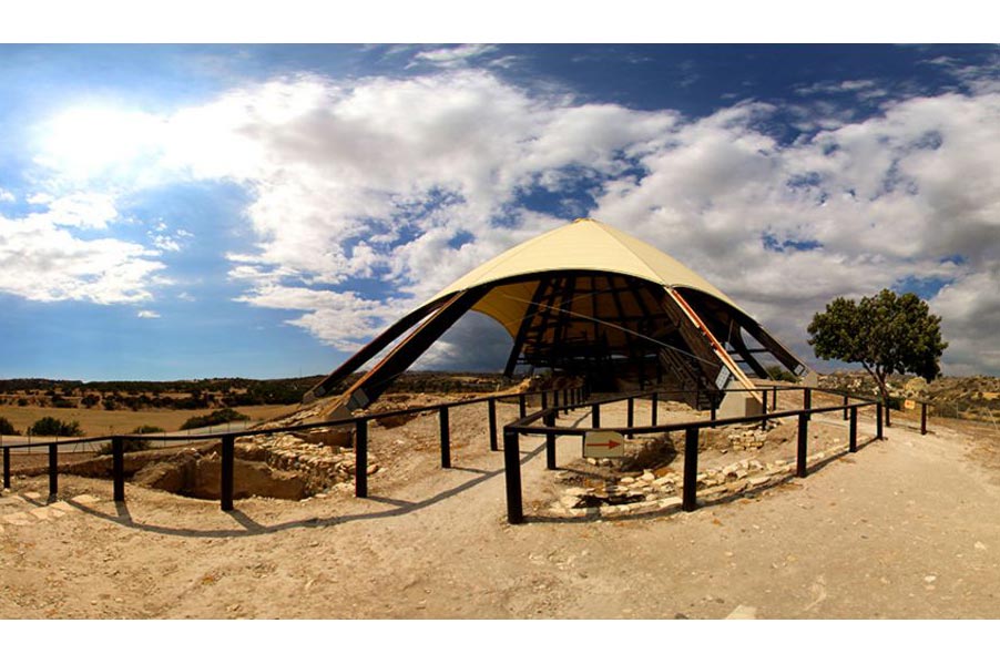
The Kalavasos region, dominated in many respects, mainly because of the Vasilikos river that secured irrigation and watering and also because of its metal-bearing deposits, was tightly populated since ancient times. Today the region is a very noteworthy archaeological site. The "Tenta" settlement as well as the other settlements discovered in the region present a distinct interest. The archaeological site of Tenta consists of the most important settlement of that period in the valley. The archaeological ruins that have been discovered, mainly belong to the period of the Khirokitia settlement.
On river Vassilikos one can find the water dam of Kalavasos which was realized between the years of 1983 and 1985. It is 57 metres high, 2 km long and it has a surface of 875 thousand square metres. Along with the Kalavasos water dam, the dam of Dipotamos is considered the main source for the Vassilikos-Pendaschinos water plan.